

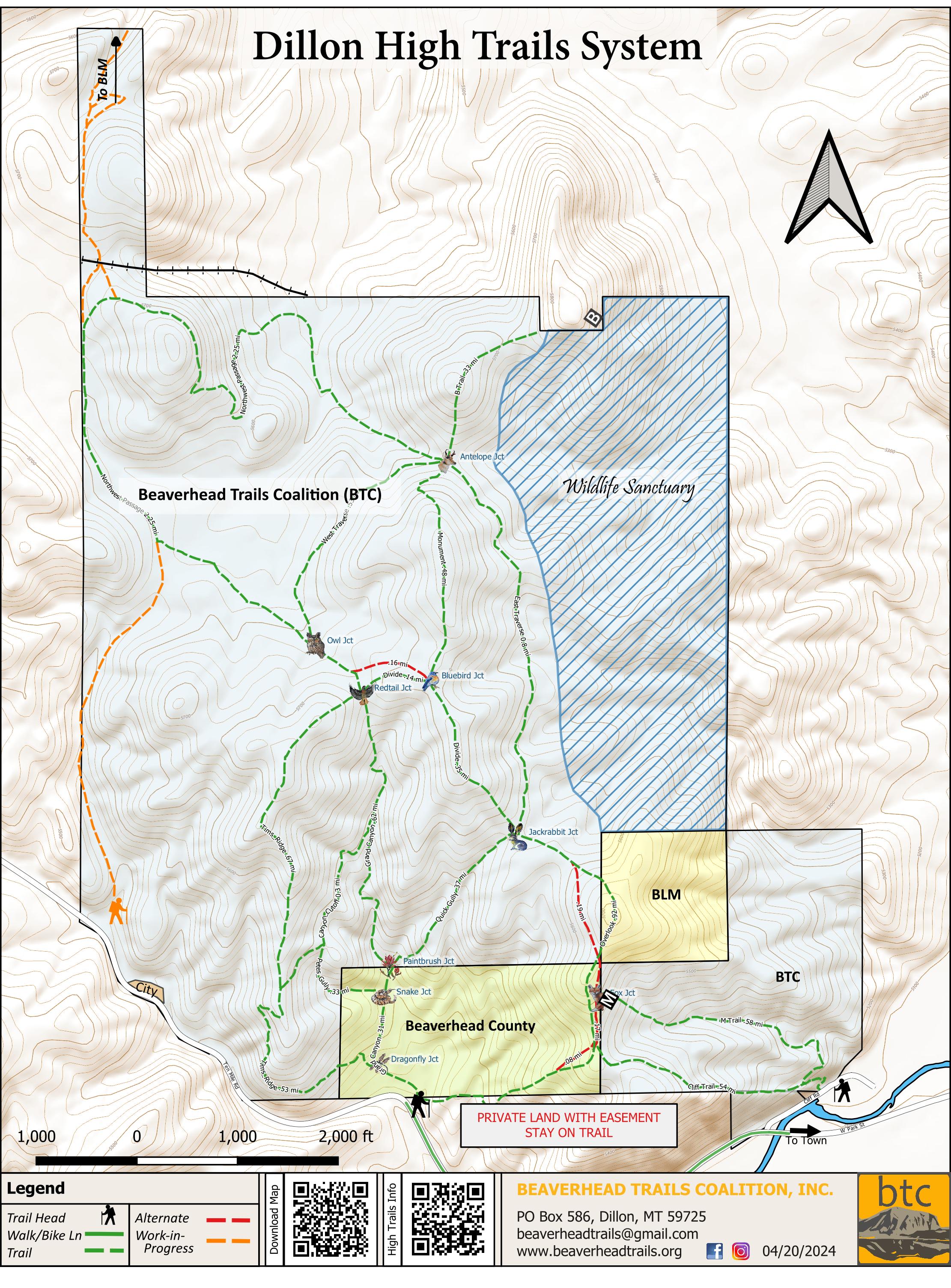
 Click on map above for a GeoRef pdf map
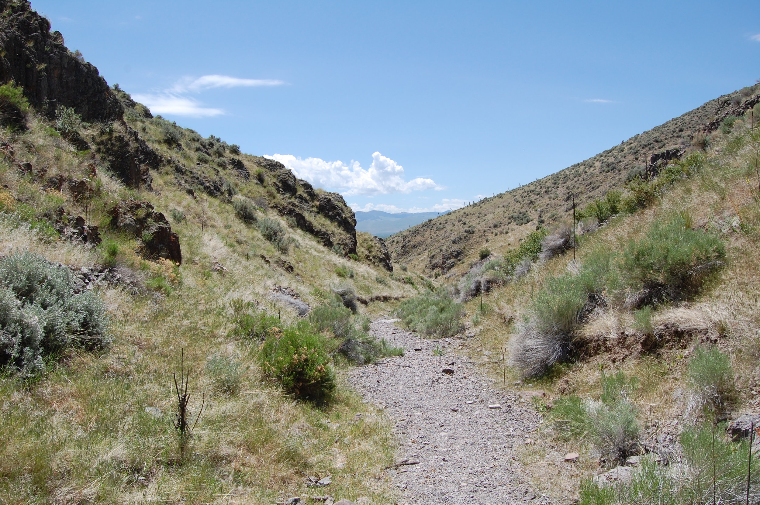
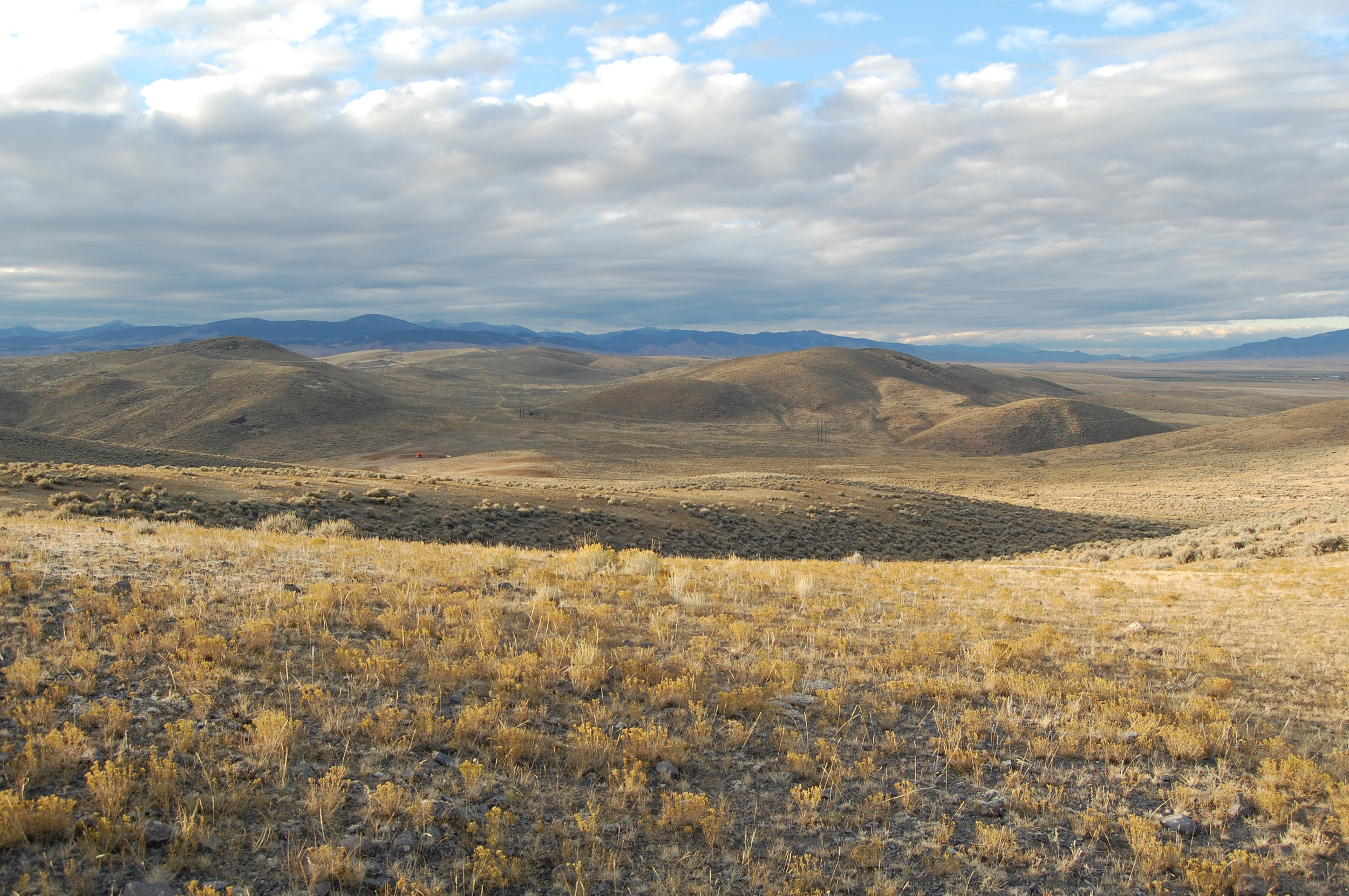
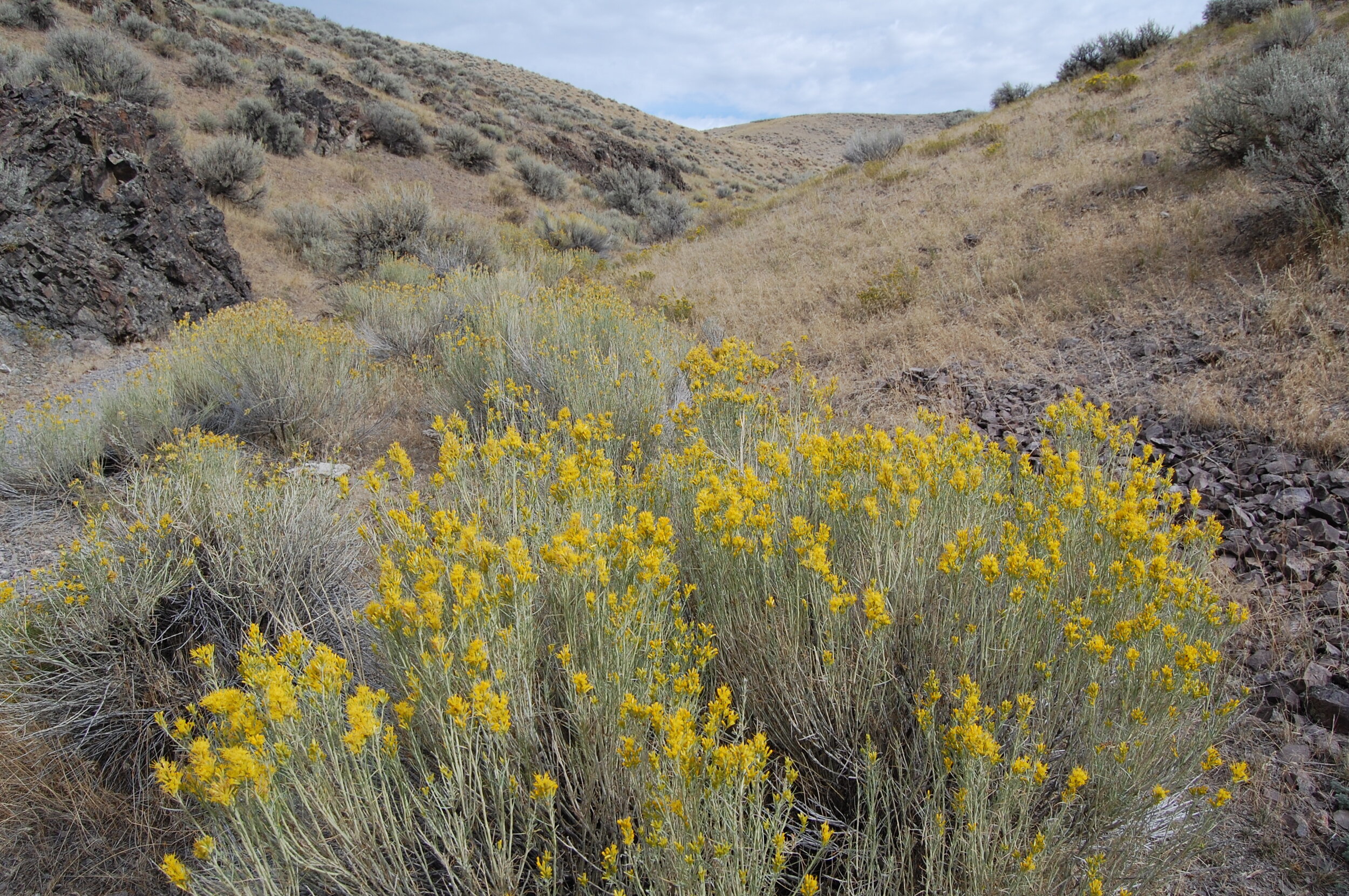
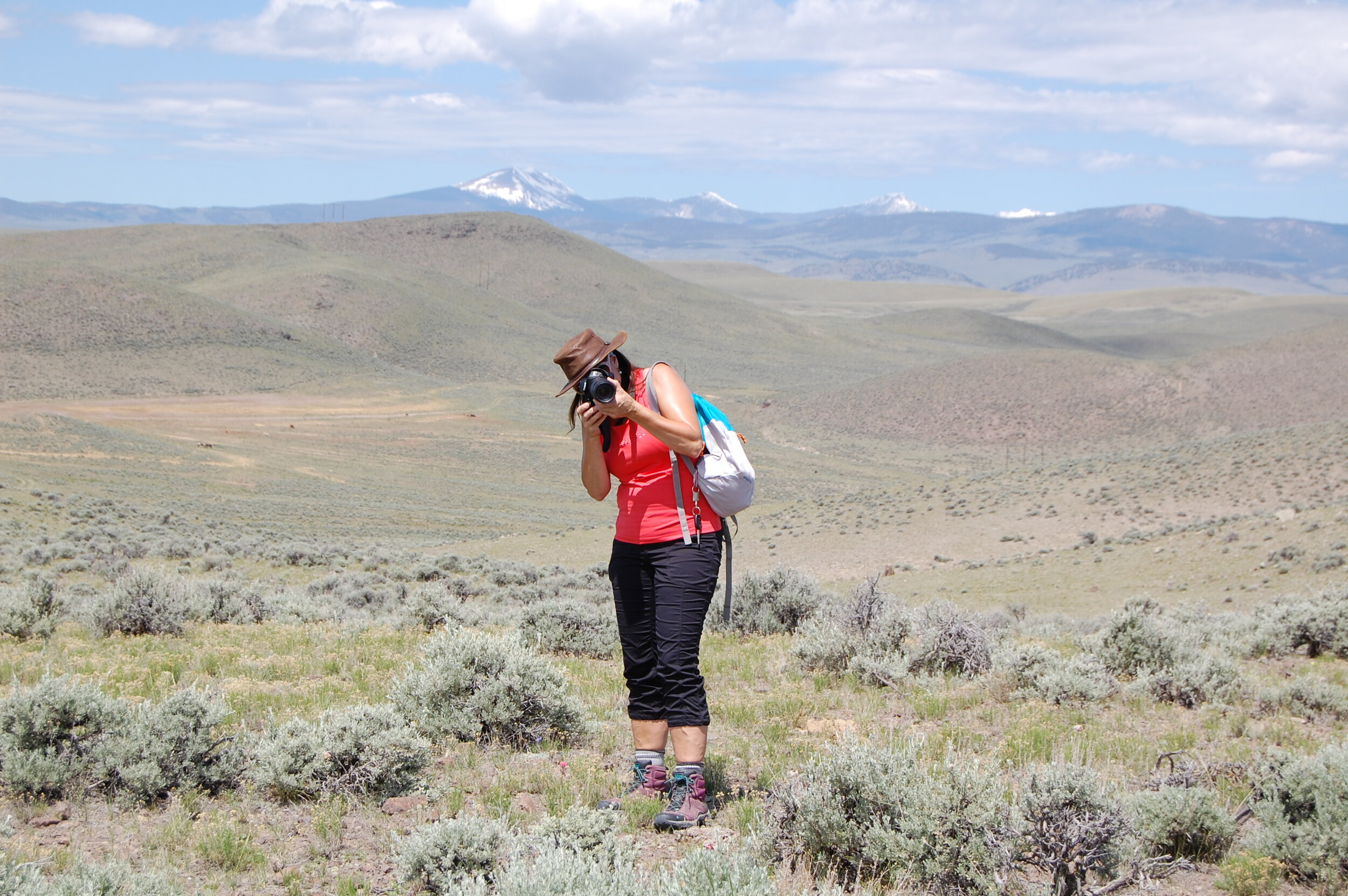
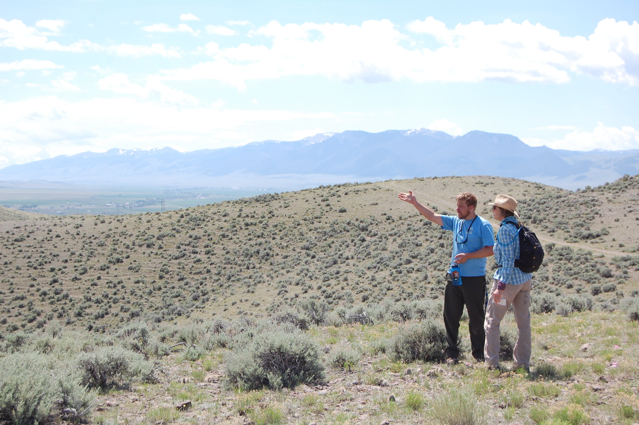
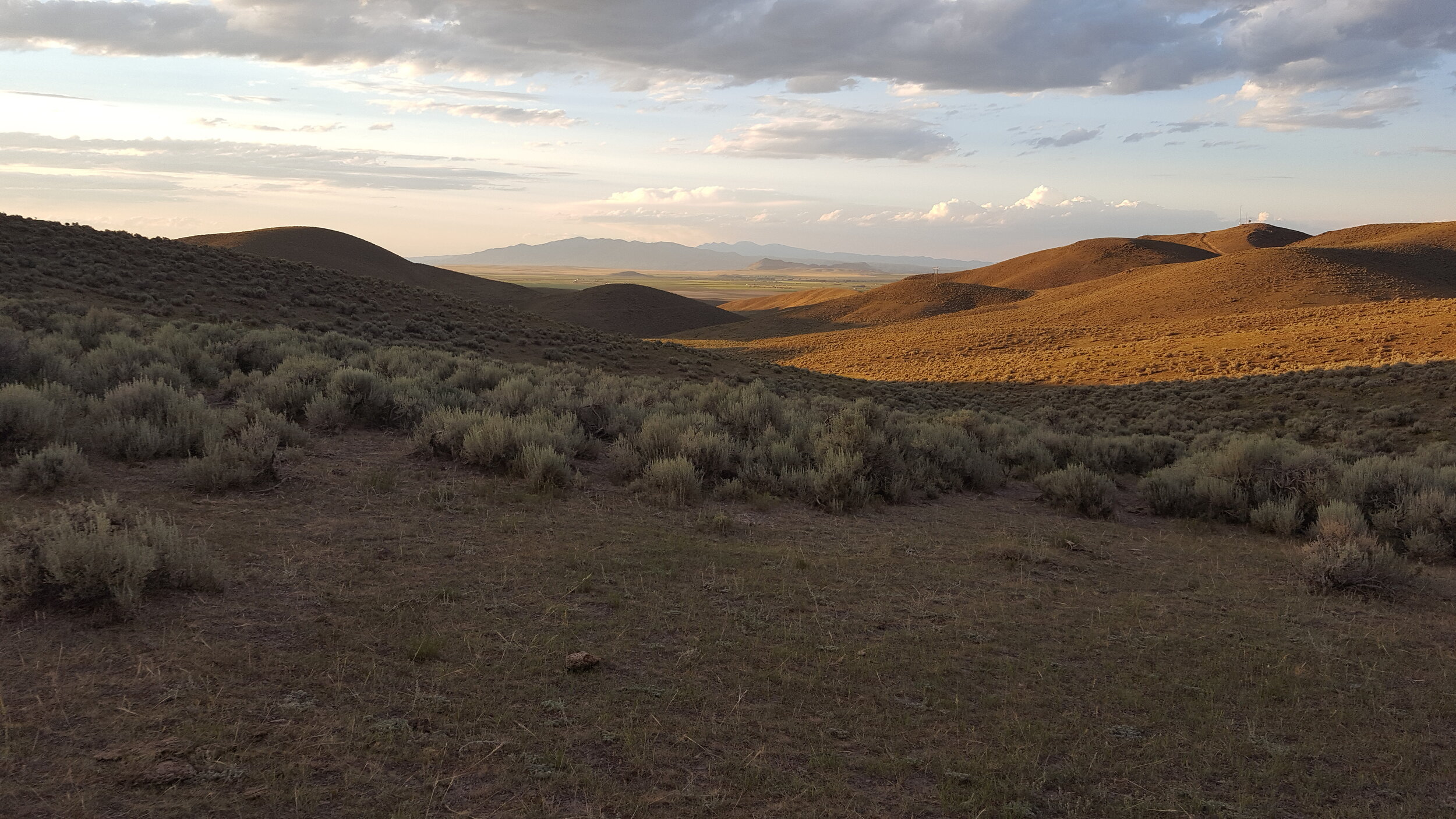
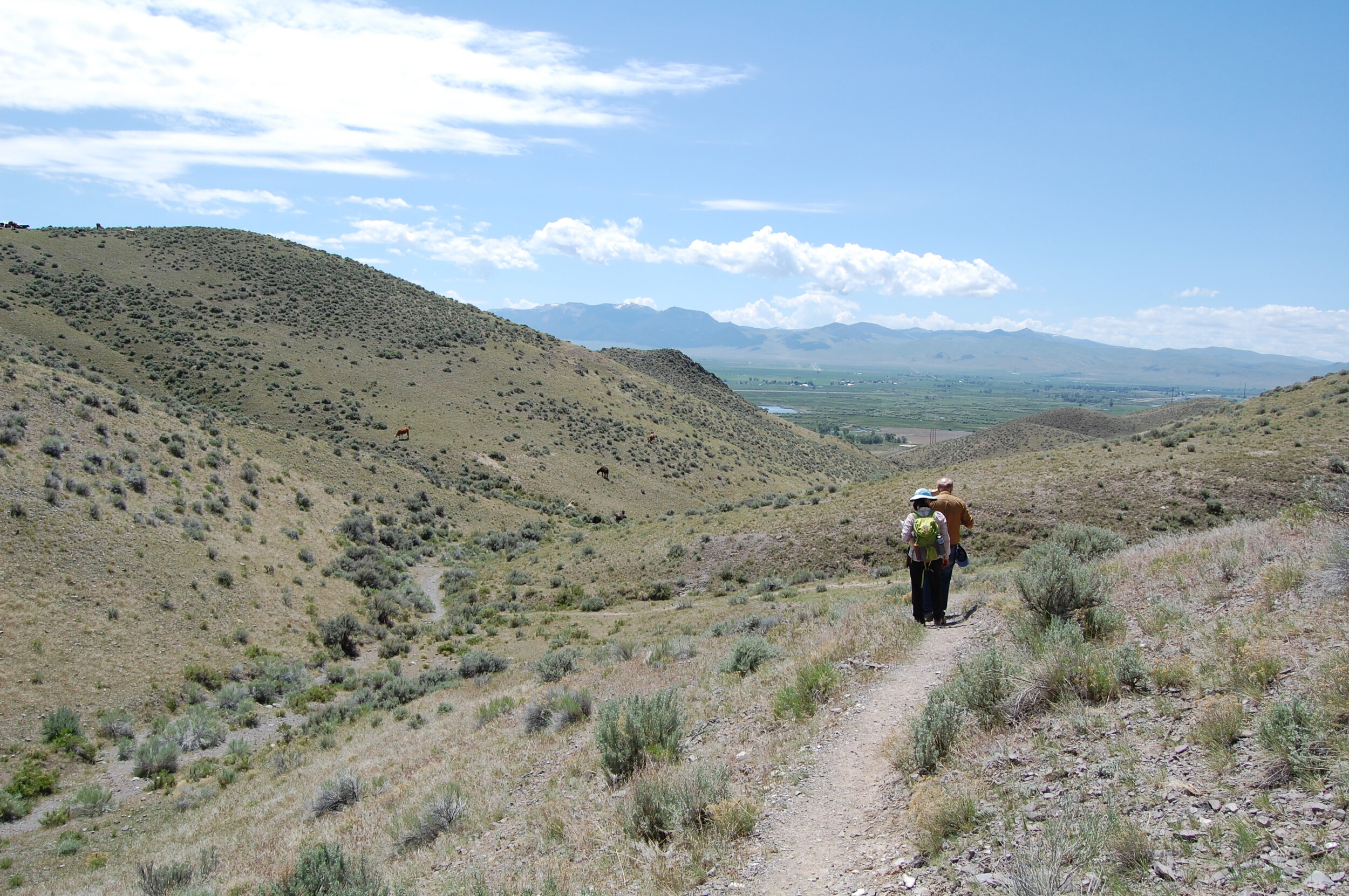
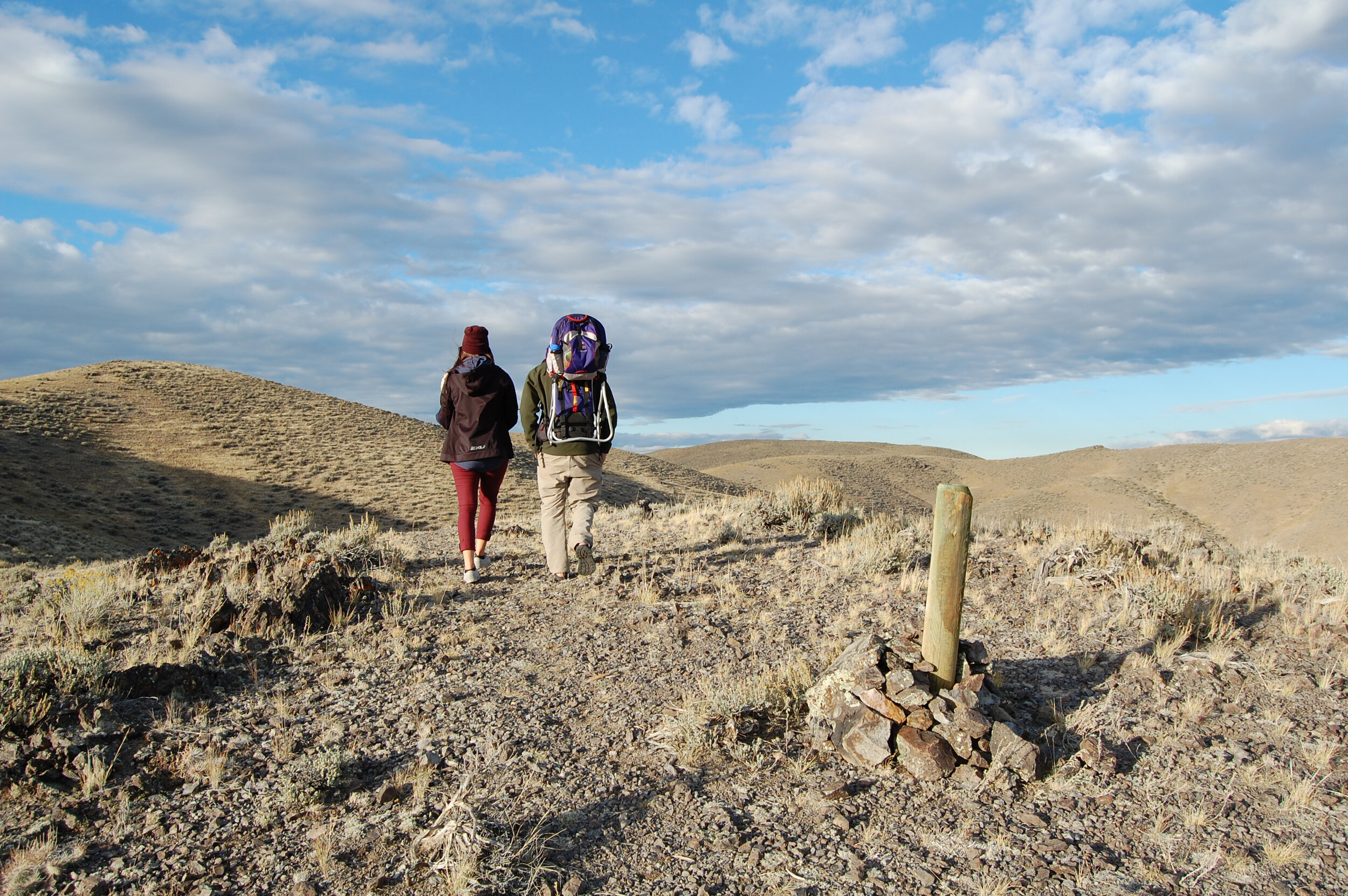
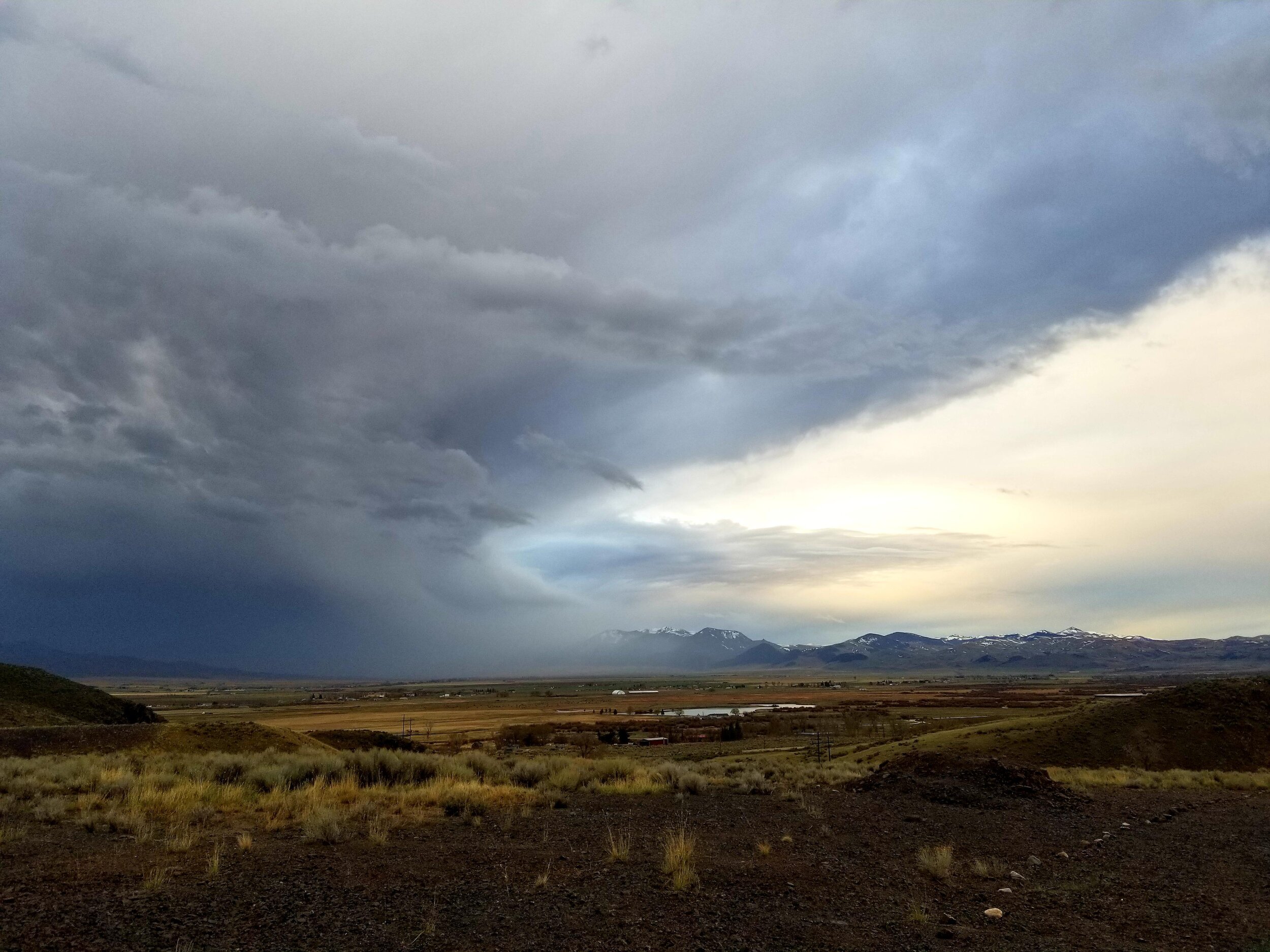
Walk, relax, breathe
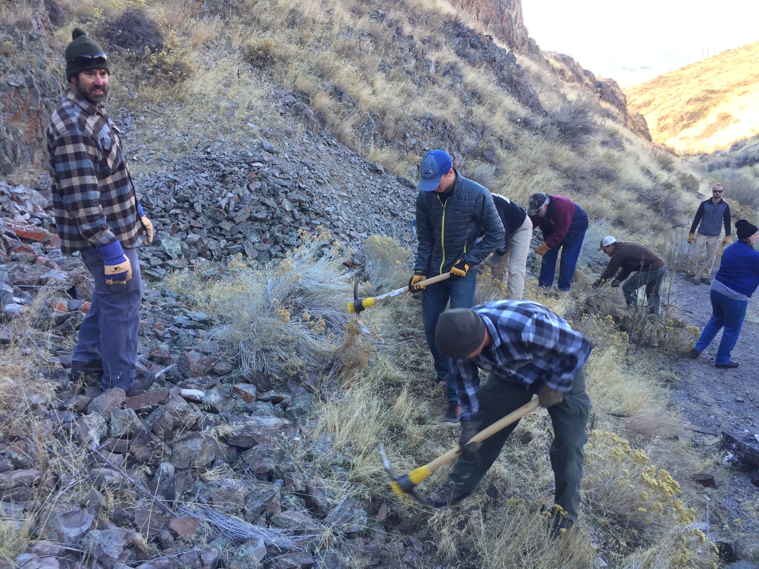
Since 2014, BTC worked towards acquiring over 1,100 acres of land to create over 10 miles of trails available to all whom wish to hike, mountain bike, and horseback ride within minutes of Dillon. This program will further the resources our community has for years to come.
Useful information links follow:
- Trail lengths and descriptions
- Suggested hiking loops
- Trail etiquette
- Program history
- High Trails use for events
- High Trails Strategic Plan
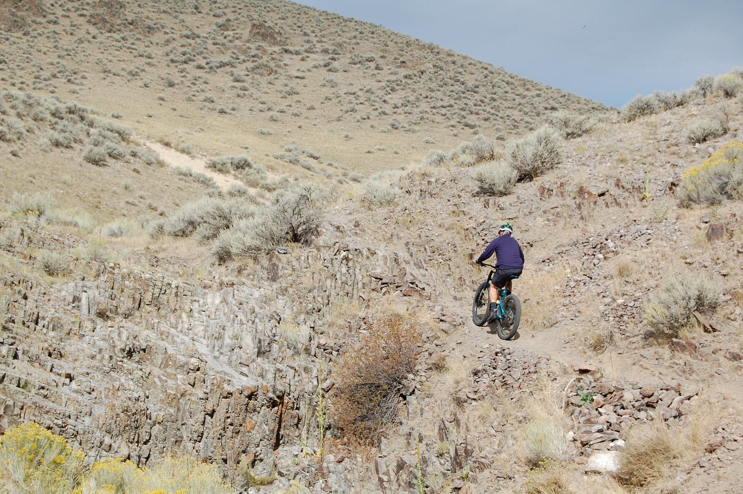
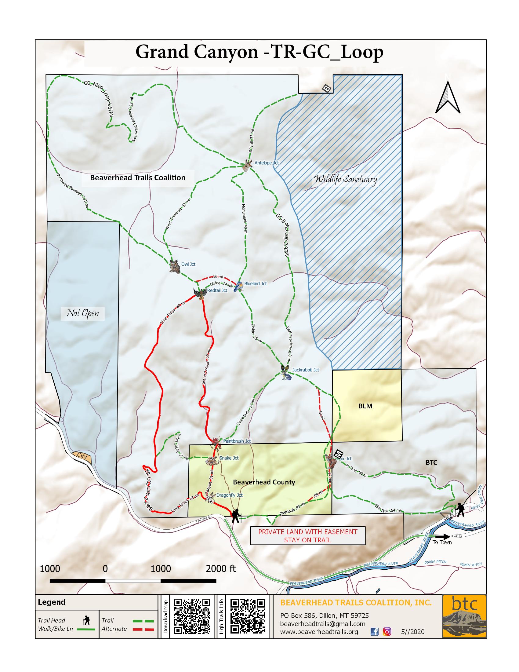
Trail Descriptions
Descriptions of the designated trails shown on the High Trails map follow.

Trailhead to Redtail Junction; Elevation gain: 473’
Tim’s Ridge Trail – 1.09 mi
Dragonfly Junction to Redtail Junction; Elevation gain: 547’ – elevation loss: 138’
Pete’s Gully – 0.33 mi
Rattlesnake Junction to Tim’s Ridge Trail; Elevation gain: 263’ – elevation loss: 49.4’
Quick Gully Trail – 0.37 mi
Paintbrush Junction to Jackrabbit Junction; Elevation gain: 272’ – elevation loss: 36.9’
Overlook Trail – 0.92 mi
Trailhead to Jackrabbit Junction; Elevation gain: 502’ – elevation loss: 159’
East Traverse Trail – 0.80 mi
Jackrabbit Junction to Antelop Junction; Elevation gain: 184’ – elevation loss: 132’
Divide Trail – 0.35 mi
Jackrabbit Junction to Bluebird Junction; Elevation gain: 34’ – elevation loss: 182’
Cliff Trail – 0.53 mi
Monument Trail – 0.48 mi
Bluebird Junction to Antelope Junction; Elevation gain: 190’ – elevation loss: 95.8’
West Traverse Trail – 0.53 mi
Owl Junction to Antelope Junction; Elevation gain: 112’ – elevation loss: 115’
Northwest Passage – 2.25 mi
Owl Junction to Antelope Junction; Elevation gain: 395’ – elevation loss: 454’
suggested LoopS from the trailhead:
Some hiking loops using the most popular trails follow. Of course we encourage exploring all of the trails and defining your own routes out from and back to the trailhead.
Tim’s Ridge - Grand Canyon:
Distance: 2.1 miles
Average slope of 13%
Elevation gain: 594 ft
The most popular loop – will take you at the top of the plateau on gentle gradient.
Head toward the South end of Tim’s Ridge and come back via Grand Canyon for a gentler hike.


Overlook – Quick Gully:
Distance: 1.59 miles
Average slope of 14%
Elevation gain: 594 ft
A loop getting above the M, and back from the beautiful back country. Head toward the East from the parking lot, turn left to continue up the hill when you reach the first gate. Once past the M, look for Nathan’s arch on the right! Take South at Jackrabbit junction to go down on Quick Gully Trail


From the M to the B
return via Grand Canyon
Distance: 3.86 miles
Average slope of 13%
Elevation gain: 1130 ft
Go on a long hike from the M to the B…


Northwest Passage Trail
Distance: 4.52 miles
Average slope of 9%
Elevation gain: 1065 ft
Explore the very back of our trail system!...

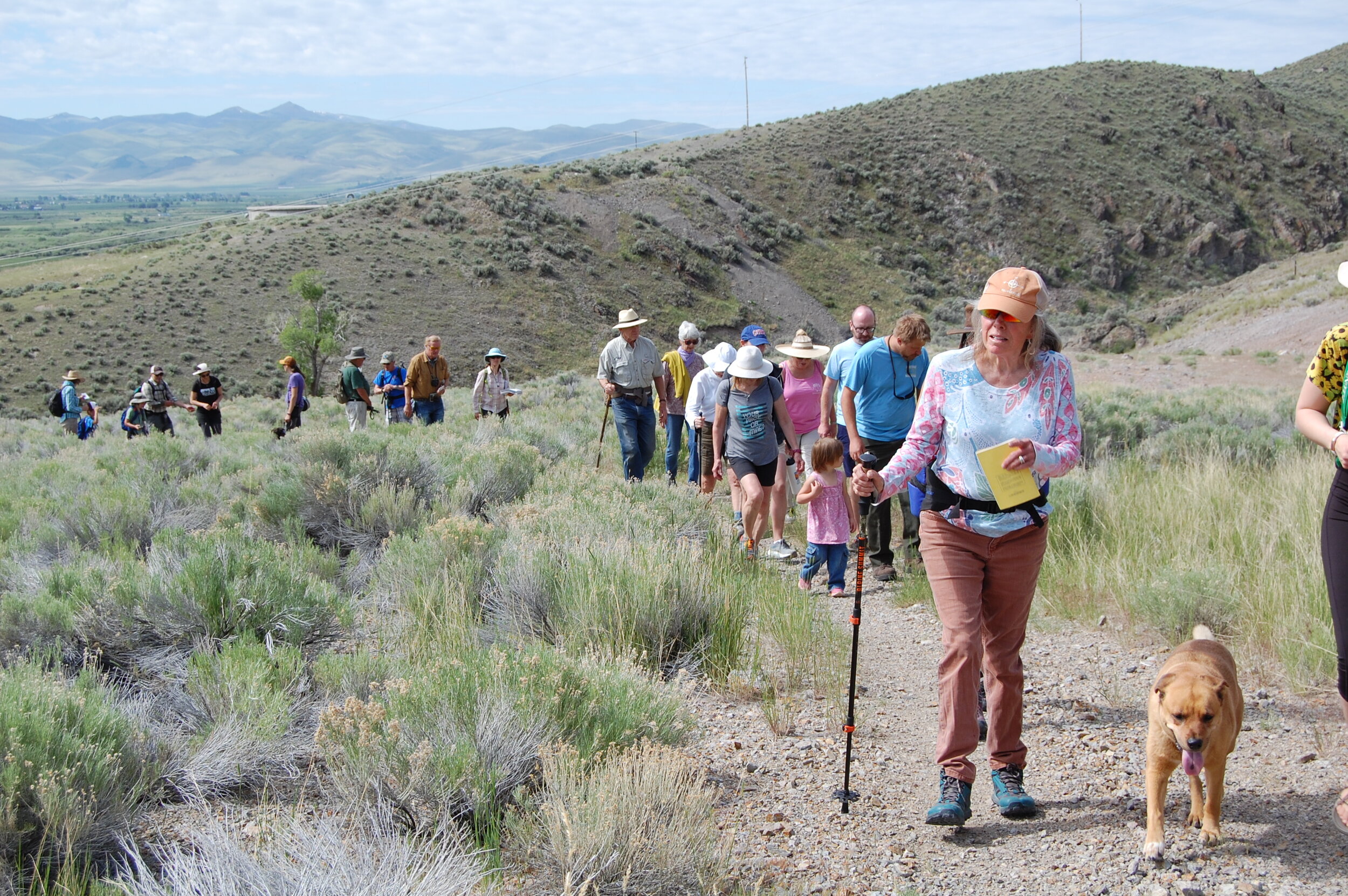
Get Involved
If you have ideas about improving trail segments in our community or would like to be involved in this process please contact us and/or donate to help the effort move forward.